
BANFF – The snowpack shortage in the mountains could pose dangerous conditions this summer.
Canmore’s John Pomeroy, one of the world’s leading snow and ice hydrology experts, said the snow water equivalent is hundreds of millimetres below normal for this time of year, generally at between 65 and 85 per cent of normal for high elevation snowpacks in the Bow River Basin and Kananaskis Country.
“The shortage is more severe at lower elevations and in forests where our snow surveys are about 70 per cent of normal snow water equivalent values for this time of year,” said the University of Saskatchewan professor.
“But our valley bottom sites have been snow-free for some time.”
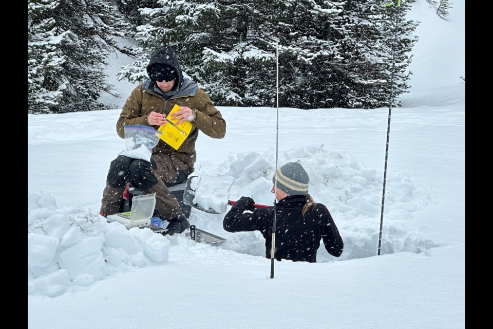
The information on the snowpacks is from measurements at Alberta Environment’s snow pillows in the Bow River Basin and the University of Saskatchewan’s snow survey sites in neighbouring Kananaskis Country.
Pomeroy said the recent snowfall over the past week or two was not much – about 25 mm snow water equivalent (SWE) – one inch of water or 25 cm of fresh snow depth – at the high elevation Fortress Mountain station.
He said at this time of year the average SWE, which is a measurement that determines how much water the snowpack contains, is typically 210 mm at Kananaskis Country’s Marmot Creek, a tributary of the Kananaskis and Bow rivers.
“This year we have 140 mm, so it’s short 70 mm,” said Pomeroy, who is the UNESCO chair in Mountain Water Sustainability and co-chair of the United Nations Advisory Board for the 2025 International Year for Glaciers’ Preservation.
At Fortress Mountain in K-Country, the mean is 438 mm SWE, but this year it is 320 mm, down by 118 mm.
Pomeroy said Alberta Environment’s snow pillow at Sunshine ski resort typically has an average 615 mm SWE, but this year is 165 mm lower as of Tuesday (April 22) at 450 mm.
He said Alberta Environment’s Skoki Lodge snow pillow near Lake Louise averages 310 mm, but as of Tuesday had 272 mm SWE.
“So it’s short 38 mm,” he said.
Pomeroy said the averages typically increase to early May and then start to decline, depending on elevation.
“It would take an exceptionally large late season storm to bring mountain snow accumulation back up to normal values,” he said.
Pomeroy said the snowpack for this time of year is much lower than in 2024 and similar to 2023 in April.
“Some of Alberta Environment’s April snow surveys are in the lowest 10 per cent of decades of measurements, including a few lower than 2001, which was the snow drought of record,” he said.
Pomeroy said the combination of low snowpacks and early snowmelt in 2023 caused the earliest and sometimes lowest streamflows recorded on the Bow River and record glacier melt due to early ice exposure to the sun.
He said 2023 was also associated with a severe drought, which caused problems for downstream water users, mountain communities, including in the Oldman River basin, and with mountain wildfires.
“If we get an early melt this year, that would make this worse and Environment Canada is predicting above normal temperatures for the next month,” he said.
Banff driest winter in 138 years
Environment Canada statistics show winter in Banff – defined as December, January and February – was the driest on record. Data from the Banff climate station dates back to 1887.
Alysa Pederson, a meteorologist with Environment Canada, said 15.8 millimetres of precipitation was recorded at the Banff climate station over that three-month period compared to the normal 59 mm for the same time period.
“It’s super low,” she said.
Pederson said the last time there was a comparable low precipitation number was 29.5 mm in the December-February 2015-2016 winter period, which was considered a strong El Niño year.
“Another thing that’s interesting is we also had a strong El Niño in 2023-2024, when we had 88 mm in Banff for the three months,” she said.
“That does show that El Niños or La Niñas don’t always have the impacts that we expect them to have in the Rockies.”
While winter was super dry, Pederson said March was wet in Banff.
“In Banff, we did end up seeing 53.2 millimetres of precipitation in the month of March alone,” Pederson said, noting normal for Banff in March is 29.3 mm.
“That actually brings us to be the eighth wettest.”
March was also warmer than normal, but not exceedingly so.
Pederson said the mean temperature for March was -0.8 C compared to the normal of -2.2 C.
“It was the 29th warmest. It was warmer than normal, but not significantly above normal,” she said.
Environment Canada’s statistics for April are preliminary, but Pederson said normal precipitation for this month is about 39.2 mm and Banff is currently sitting at 20.2 mm.
“We’re at about half the precipitation that we would want, and if I’m honest, we’re probably going to stick around that,” she said.
As for temperature, the monthly mean temperature for April in Banff has been 2.8 C, compared to the normal of 2.75 C.
“We are bang on,” said Pederson. “That puts us at the 71st warmest in 130 years, so smack in the middle.”
Moving into spring, Pederson said the weather is a little more volatile and challenging because the storm systems are more localized.
“Because of that and because of the nature of the systems, the nature of how much rain, the temperatures, rainfalls versus snowfall, spring gets really challenging for precipitation forecasting,” she said.
Typically, however, Pederson said it gets increasingly wetter and wetter heading into June, known as June Monsoon in the Rockies.
“In April, our average for Banff is 39.2 mm and in May it goes up to about 50 mm. Then, of course, as you’d expect, June is our wettest month. That’s when we get our big rainfall events like the flood of 2013 or 2022’s big rainfall event.”
What does all this mean?
Pomeroy said mountain snowpacks in April are a good predictor of spring and summer streamflow.
With the snowpacks well below normal, he said that suggests lower streamflow over the next several months.
“If rainfall ends up also being below normal, it could mean drought and more than normal wildfires,” he said.
But Pomeroy also said a single big storm could turn this around, noting that 2013 would have been a drought year apart from the three days of heavy rainfall in late June that turned it into a flood year.
“So it’s good to prepare for low water levels in our rivers, possibly drought, but always keep a watch out for heavy rains that could cause floods,” he said.
Pomeroy said the weather has become much more variable due to human-caused climate change.
“We are experiencing not just warmer temperatures but greater extremes of flood and drought – sometimes in the same year,” he said.


